


")


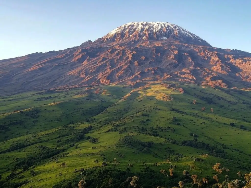
Mount Kilimanjaro is one of the most famous mountains in the world. Standing tall in Tanzania, Africa, it is the highest free-standing mountain on Earth. But have you ever wondered how was mount Kilimanjaro formed?
Unlike other mountains that are part of a larger range, Kilimanjaro stands alone rising from the land like a towering guardian. Its creation is a fascinating story of fire, lava, and powerful forces beneath the Earth’s surface.
Millions of years ago, deep cracks in the Earth’s crust allowed molten rock to rise which created massive volcanoes. Kilimanjaro was born from this fiery activity shaping into the breathtaking peak we see today. But that’s not all as this mountain has three volcanic cones and each telling a different part of its history.
In this article, we will explore how Mount Kilimanjaro was formed, step by step, in a way that’s easy to understand. Let’s go into the past and uncover the secrets of this mighty volcano.
How was mt Kilimanjaro formed? A Tectonic Journey
Mount Kilimanjaro is a stratovolcano, a type of volcano built from multiple layers of hardened lava, volcanic ash, and rock. Its story begins millions of years ago, deep within the Earth’s crust where geological forces shaped its formation.
The Earth’s crust is made up of moving sections called tectonic plates. In East Africa, these plates started pulling apart which creates deep cracks in the land. This process is known as rift formation and is part of the massive East African Rift System which continues to shape the region today.
As the land stretched and fractured, molten rock, or magma from deep inside the Earth started to rise through these cracks. When it reached the surface it erupted as lava which gradually built up layers to form the towering Kilimanjaro. But unlike a single volcano, Kilimanjaro consists of three volcanic cones – Shira, Mawenzi, and Kibo each with its own unique history:
- Shira, the oldest cone formed around 2.5 million years ago. It was once a massive peak but eventually collapsed due to erosion and volcanic activity and leaving behind a broad plateau.
- Mawenzi formed next about 1 million years ago. Its jagged and steep structure is the result of intense volcanic activity and erosion.
- Kibo, the youngest and highest cone stands at 5,895 meters (19,341 feet). It last erupted between 150,000 and 200,000 years ago and still shows signs of volcanic activity which includes fumaroles (steam vents) near its summit.
Even though Kilimanjaro’s volcanoes are now dormant (meaning they are not active), their formation shaped the landscape we see today. Over thousands of years, glaciers, wind, and rain carved the mountain’s slopes which creates deep valleys and rocky ridges.
Mount Kilimanjaro stands as a reminder of the Earth’s powerful forces. From fiery eruptions to slow-moving glaciers, its formation is a story of change, destruction, and beauty.
Stages of Kilimanjaro’s Formation
Mount Kilimanjaro did not appear overnight as it took millions of years to form through different volcanic stages. The process began deep beneath the Earth’s surface where intense geological activity forced molten rock (magma) to rise and build what we now call Kilimanjaro. This happened in three main stages:
- The Birth of Shira (Around 2.5 Million Years Ago)
The first stage of Kilimanjaro’s formation began about 2.5 million years ago with the eruption of Shira. At that time, magma from deep inside the Earth pushed through the crust while forming a large volcanic cone.
However, after thousands of years, Shira’s volcanic activity declined and the peak eventually collapsed due to erosion and internal instability. This collapse created the Shira Plateau, a wide and relatively flat area that remains visible today. Shira is the shortest of the three cones and is no longer active.
- The Formation of Mawenzi (About 1 Million Years Ago)
After Shira became inactive, volcanic activity moved to a new location that led to the formation of Mawenzi which erupted around 1 million years ago. Mawenzi’s eruptions built up a steep, jagged mountain, but over time, intense erosion carved deep valleys and sharp ridges into its structure.
Unlike Kibo, which remains somewhat rounded Mawenzi’s appearance is rough and craggy due to centuries of weathering. Though Mawenzi is extinct but it still stands as the second-highest peak on Kilimanjaro which reaches 5,149 meters (16,893 feet).
- The Rise of Kibo (Around 500,000 Years Ago – Present)
The final and most significant stage in Kilimanjaro’s formation was the eruption of Kibo, which began around 500,000 years ago. This was the most powerful and sustained volcanic activity, eventually creating the highest peak of the mountain.
Kibo’s eruptions continued for thousands of years, adding layers of lava and ash that made it the dominant cone. Today, Kibo stands at 5,895 meters (19,341 feet) and remains the most well-preserved of Kilimanjaro’s three volcanic cones. It still has evidence of past eruptions including a large crater and steaming fumaroles.
Last Volcanic Activity & Dormant Status
While Kilimanjaro is no longer an actively erupting volcano but its past volcanic activity did not stop suddenly. Kibo continued to erupt periodically with the last significant eruption occurring between 150,000 and 200,000 years ago. The most recent minor volcanic activity on Kilimanjaro occurred about 360,000 years ago when lava flows trickled down its slopes.
Today, Kibo is considered a dormant volcano which means it is not currently erupting but still has the potential to become active again. Scientists have detected fumaroles (steam vents) near Kibo’s crater which suggest that heat is still present beneath the surface.
However, there are no signs of an imminent eruption. Unlike extinct volcanoes which are permanently inactive a dormant volcano like Kilimanjaro could theoretically erupt again if the right geological conditions arise.
Erosion and Glacial Influence
Mount Kilimanjaro has not only been shaped by volcanic eruptions but also by erosion and glacial activity over thousands of years. After the eruptions stopped, the forces of wind, rain, and ice gradually altered the mountain’s landscape.
Glacial Carving and Ice Formations
During the Ice Age, Kilimanjaro was covered by large glaciers that extended far down its slopes. These glaciers slowly carved deep valleys and left behind smooth rock surfaces.
Over time, the movement of ice and freezing temperatures shaped the mountain’s ridges and cliffs. Some of the most famous glaciers on Kilimanjaro like the Furtwängler Glacier are remnants of this ancient ice cover.
Melting Glaciers and Climate Change
In recent centuries, Kilimanjaro’s glaciers have been shrinking due to climate change. Studies show that over 80% of Kilimanjaro’s ice has disappeared in the last 100 years, and scientists predict that the remaining glaciers could vanish entirely in the coming decades. The melting ice has also affected the mountain’s water sources which reduces the streams and rivers that once flowed from its peaks.
Wind and Rain Erosion
Apart from glaciers, wind and rain have played a major role in shaping Kilimanjaro. Heavy rainfall on the lower slopes has carved deep valleys while strong winds at higher altitudes have gradually worn down exposed rock formations. This constant erosion has contributed to the rugged and dramatic landscapes seen on the mountain today.
Final Thoughts
Mount Kilimanjaro’s formation is a story of fire, ice, and time. It began as a fiery volcano with eruptions creating three volcanic cones. Over thousands of years, volcanic activity shaped its towering peaks but once the eruptions stopped, glaciers and erosion continued to sculpt the mountain. Today, Kilimanjaro stands as the tallest mountain in Africa, a geological wonder shaped by both destructive and creative forces. Understanding its history helps us appreciate the power of nature and the changes that continue to shape the Earth’s landscape.
FAQs
Where is mount kilimanjaro?
Mount Kilimanjaro is located in Tanzania, East Africa, near the border with Kenya. It is the highest mountain in Africa, standing at 5,895 meters (19,341 feet) above sea level. The mountain is part of Kilimanjaro National Park, a UNESCO World Heritage Site.
What plate boundary is mount Kilimanjaro on?
Mount Kilimanjaro is not located directly on a plate boundary. Instead, it lies in the East African Rift Zone which is caused by the divergent boundary between the African Plate and the Somali Plate.
What type of volcano is mount Kilimanjaro?
Mount Kilimanjaro is a stratovolcano, also known as a composite volcano. This type of volcano forms from layers of hardened lava and ash built up over time. Kilimanjaro consists of three volcanic cones: Shira (extinct), Mawenzi (extinct), and Kibo (dormant, but not extinct).
When did mt kilimanjaro last erupt?
Mount Kilimanjaro’s last major eruption occurred between 150,000 and 200,000 years ago. The most recent minor volcanic activity such as lava flows happened about 360,000 years ago. Today, Kibo the highest cone is dormant but still has some geothermal activity such as steaming fumaroles near the crater.
How was mt kilimanjaro formed short answer?
Mount Kilimanjaro was formed by volcanic eruptions caused by the East African Rift. Over 2.5 million years ago, magma from deep inside the Earth broke through the surface creating the Shira, Mawenzi, and Kibo cones. Repeated eruptions built up the mountain, and over time, erosion and glaciers helped shape its current appearance.

